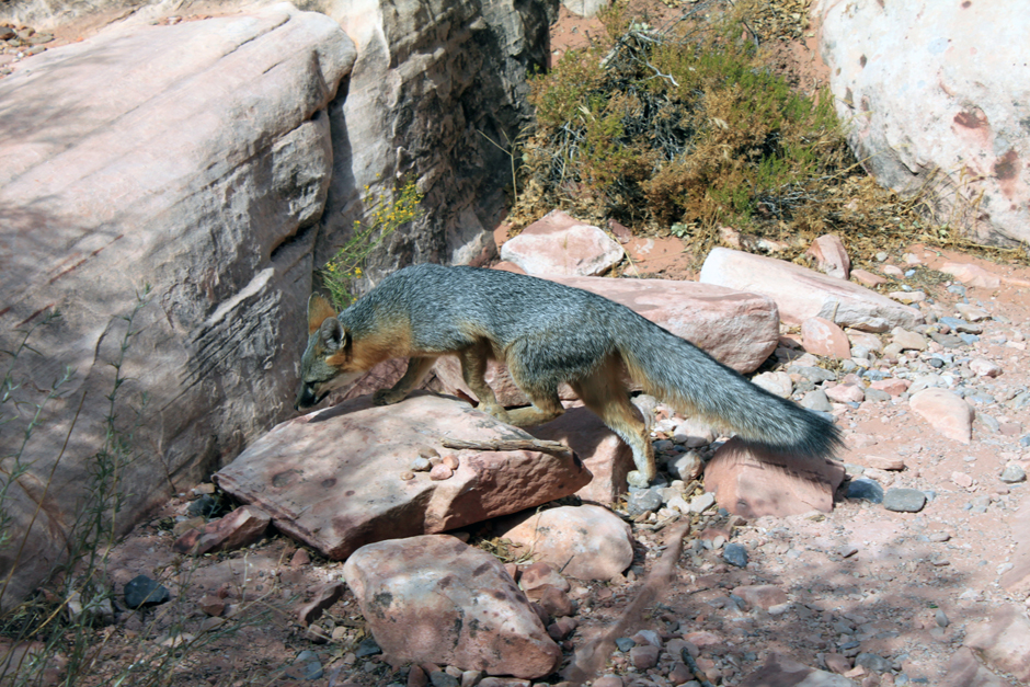
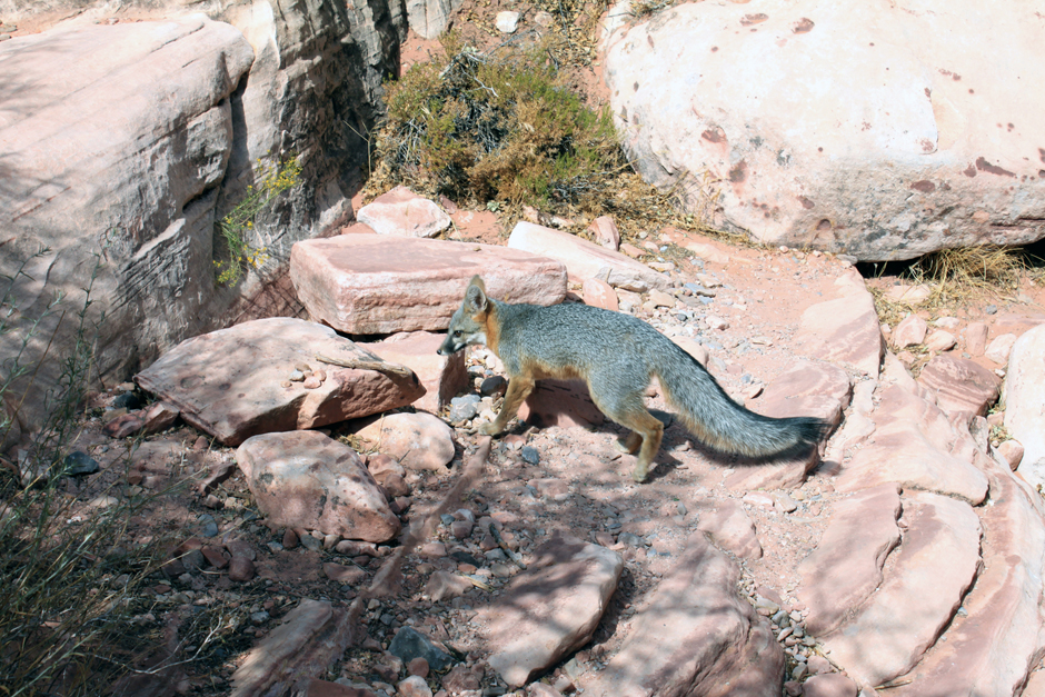
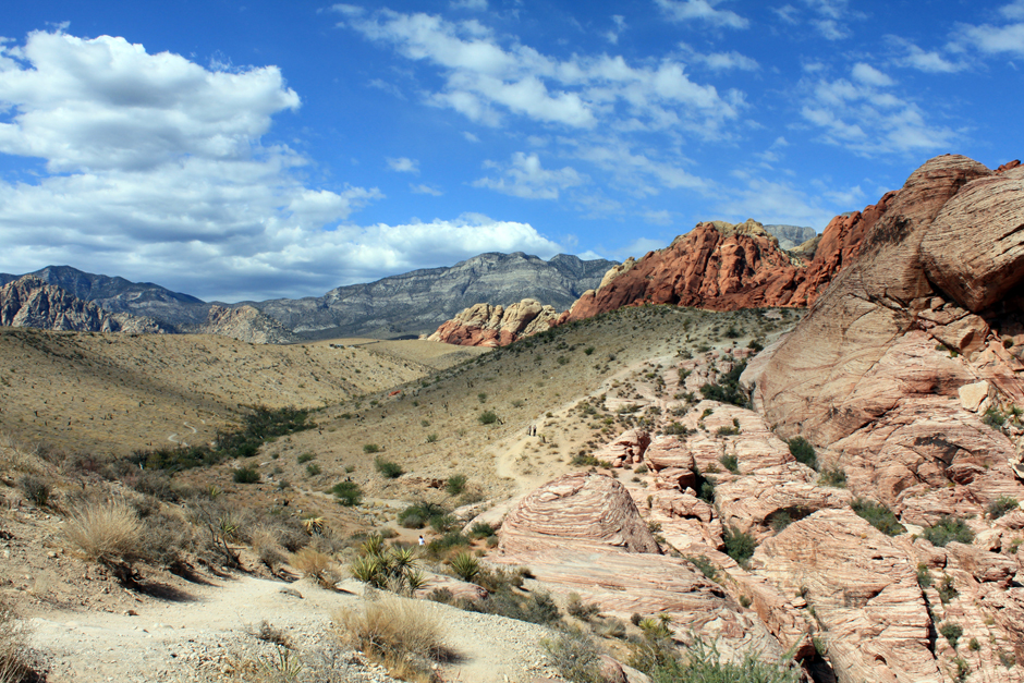
Red Rock Canyon National Conservation Area in Nevada is an area managed by the Bureau of Land Management as part of its National Landscape Conservation System, and protected as a National Conservation Area. It is located about 15 miles (24 km) west of Las Vegas, and easily seen from the Las Vegas Strip. The area is visited by over 1 million visitors each year.
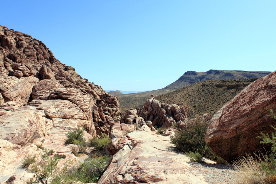
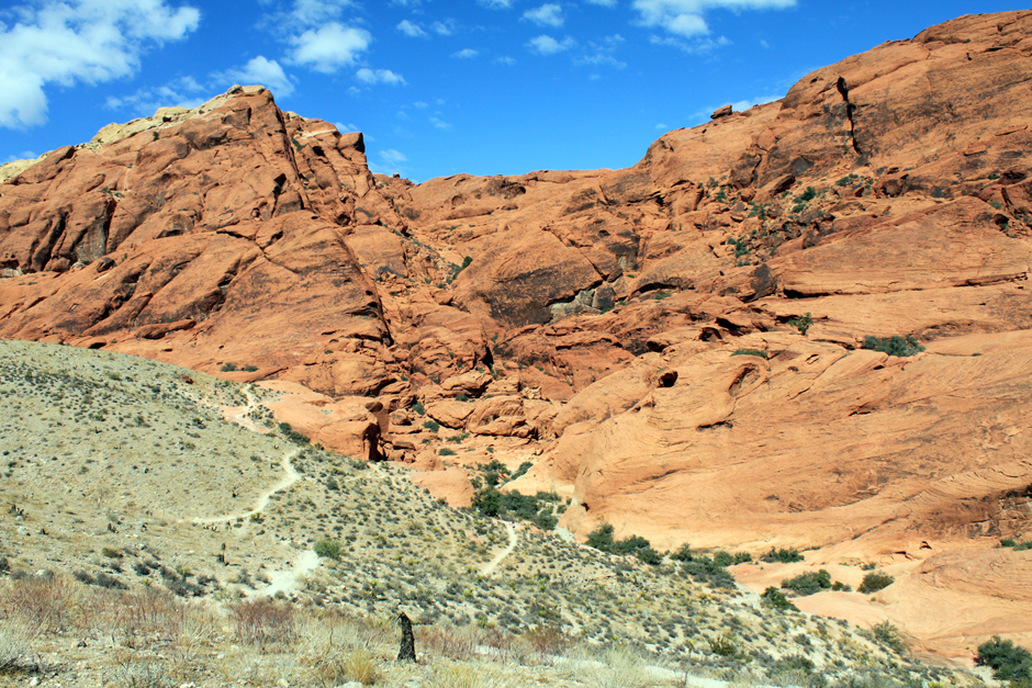
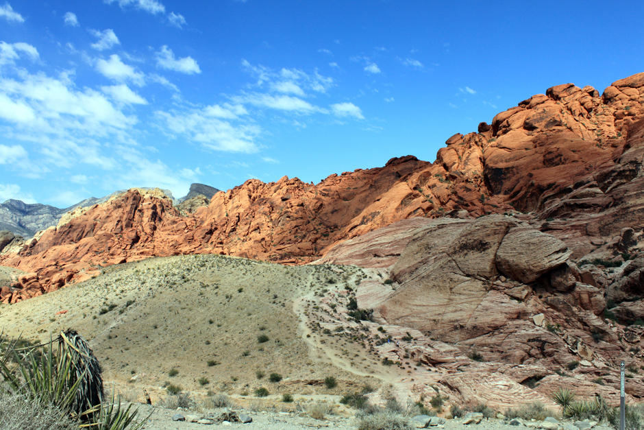
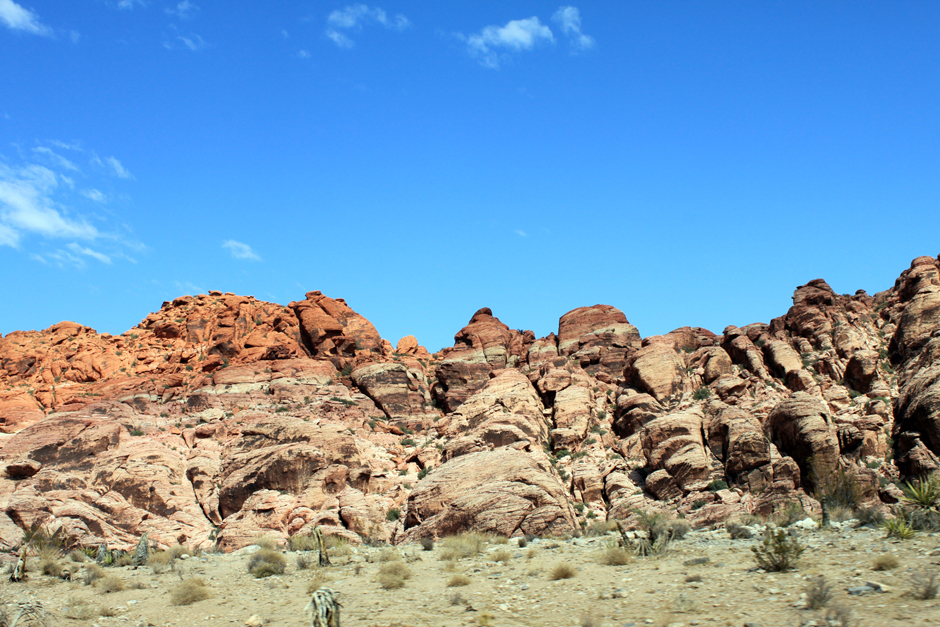
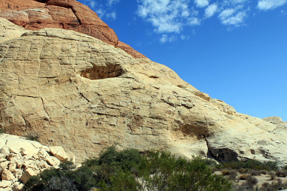
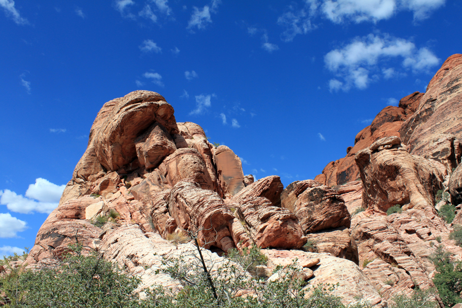
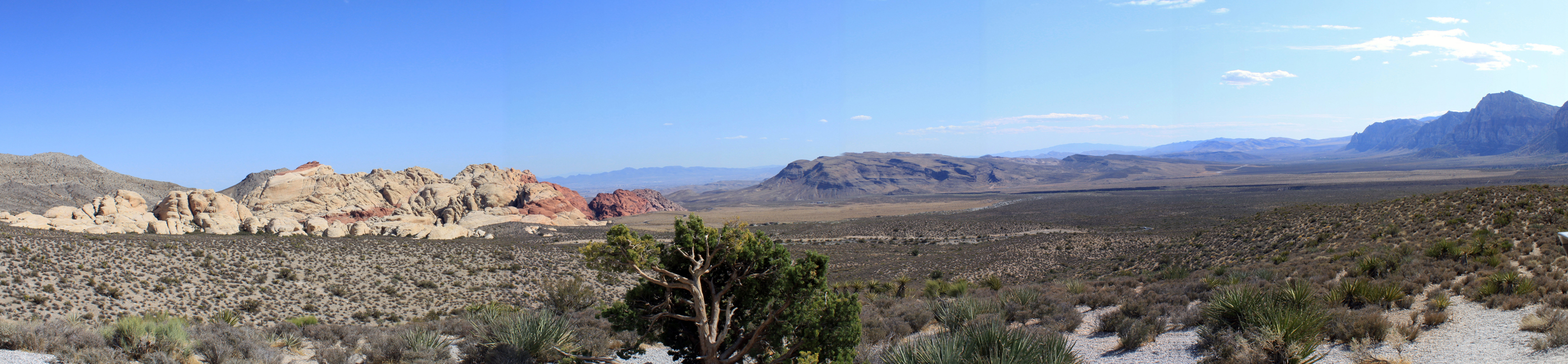
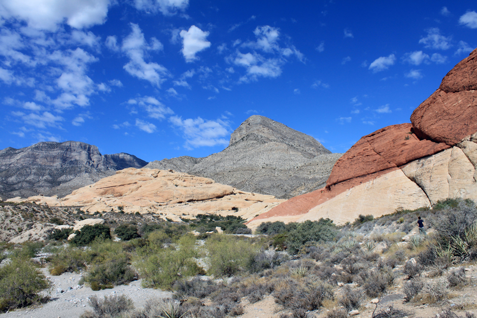
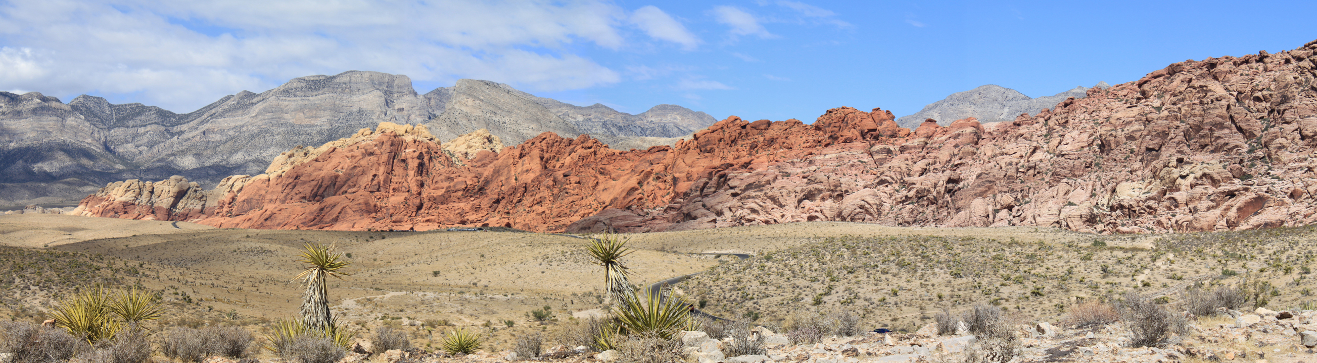
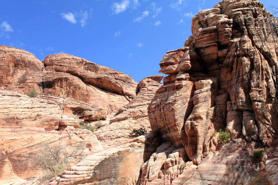
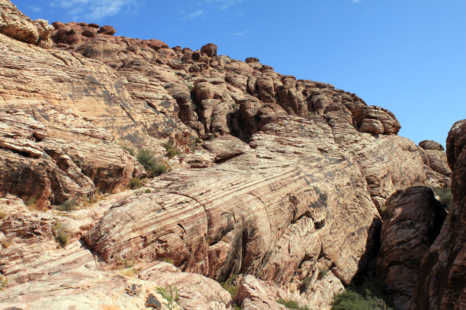
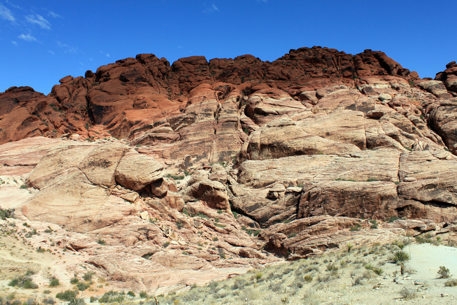
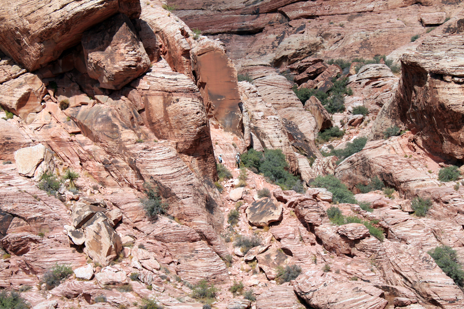
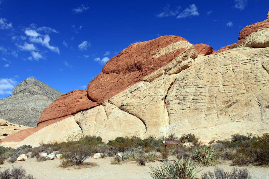
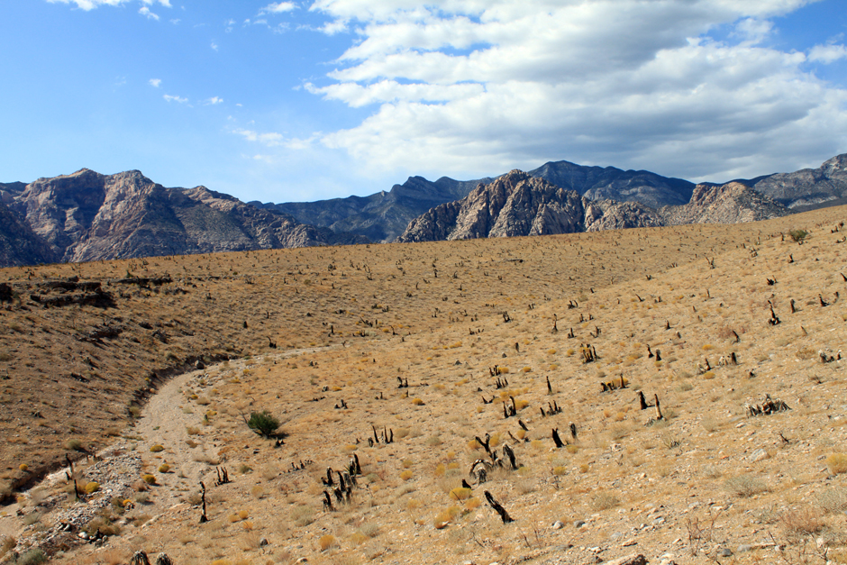
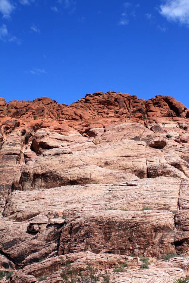
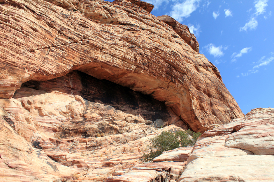
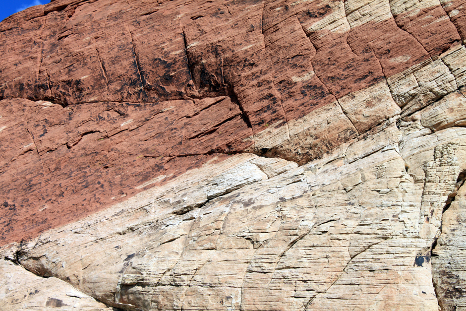
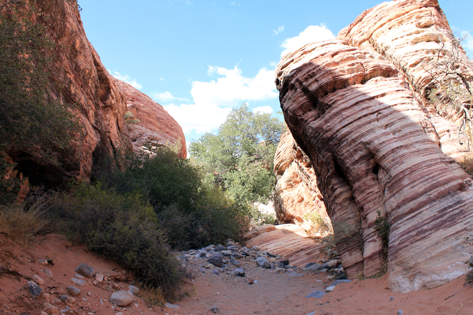
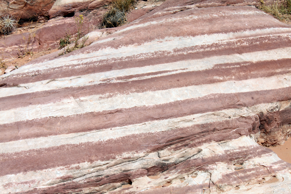
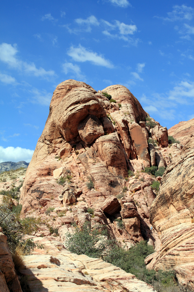
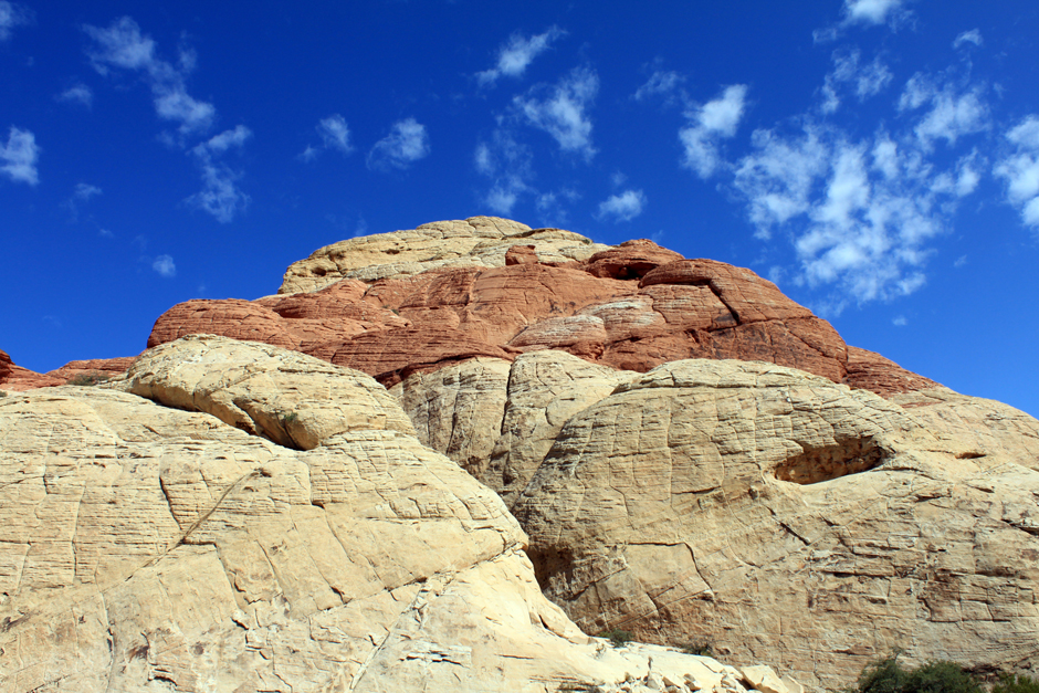
The conservation area showcases a set of large red rock formations: a set of sandstone peaks and walls called the Keystone Thrust. The walls are up to 3,000 feet (910 m) high, making them a popular hiking and rock climbing destination. The highest point is La Madre Mountain, at 8,154 feet (2,485 m).
A one-way loop road, 13 miles (21 km) long, provides vehicle access to many of the features in the area. Several side roads and parking areas allow access to many of the trails located in the area. A visitor center is located at the start of the loop road. The loop road is very popular for bicycle touring; it begins with a moderate climb, then is mostly downhill or flat.
Red Rock Canyon itself is a side-canyon accessible only by four-wheel-drive road off of the scenic loop. The unnamed but often visited valley cut through by State Route 159 is commonly, but incorrectly, referred to as Red Rock Canyon. The massive wall of rock called the Wilson Cliffs, or Keystone Thrust, can be seen to the west along this highway.
Towards the southern end of the National Conservation Area are Spring Mountain Ranch State Park, the western ghost town replica attraction of Bonnie Springs, and the village of Blue Diamond. (fonte: Wikipedia)


Scrivi un commento
Devi accedere, per commentare.